Ocean

Oceans cover over 70% of the Earth's surface and are a major driver for global weather and climate. They are also a major sink for greenhouse gases such as carbon dioxide. Satellite-based remote sensors are the only means to routinely monitor the state of the global oceans. Microwave radars and radiometers measure sea surface winds, wave state, and mean elevation (a proxy for heat content). A variety of radar system configurations are used including scatterometers that measure radar echo over large areas, synthetic aperture radars that provide detailed imagery of wave and circulation patterns, and altimeters that measure mean height with cm-scale precision.
MIRSL performs research in ocean wind vector scatterometry from aircraft, in cooperation with NOAA and NASA, to improve sea surface wind estimates in high-wind regimes such as found in hurricanes and high-latitude winter storms. Our measurements are used to improve existing retrieval models and to inform the design of future satellite remote sensors.
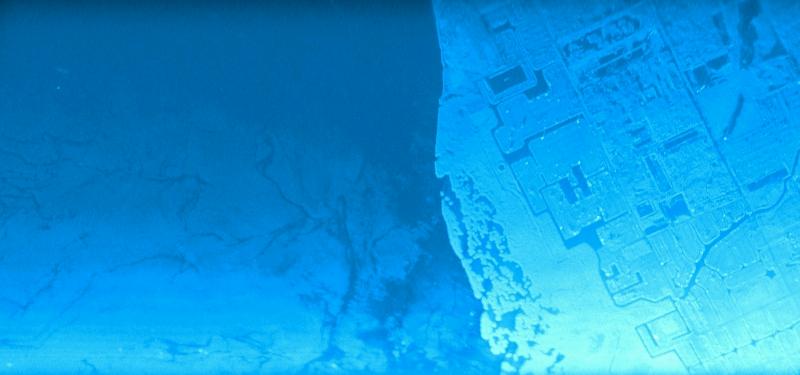
Near the coastlines waves and currents transport sand, sediments, and pollutants. Wave forcing and nearshore bathymetry give rise to hazards such as rip currents, and coastlines evolve over time. MIRSL has developed both ground-based and airborne systems to monitor coastal waves and currents.